3D Mapping
Technical data, measurements and DPX files are created using 3D mapping technology.
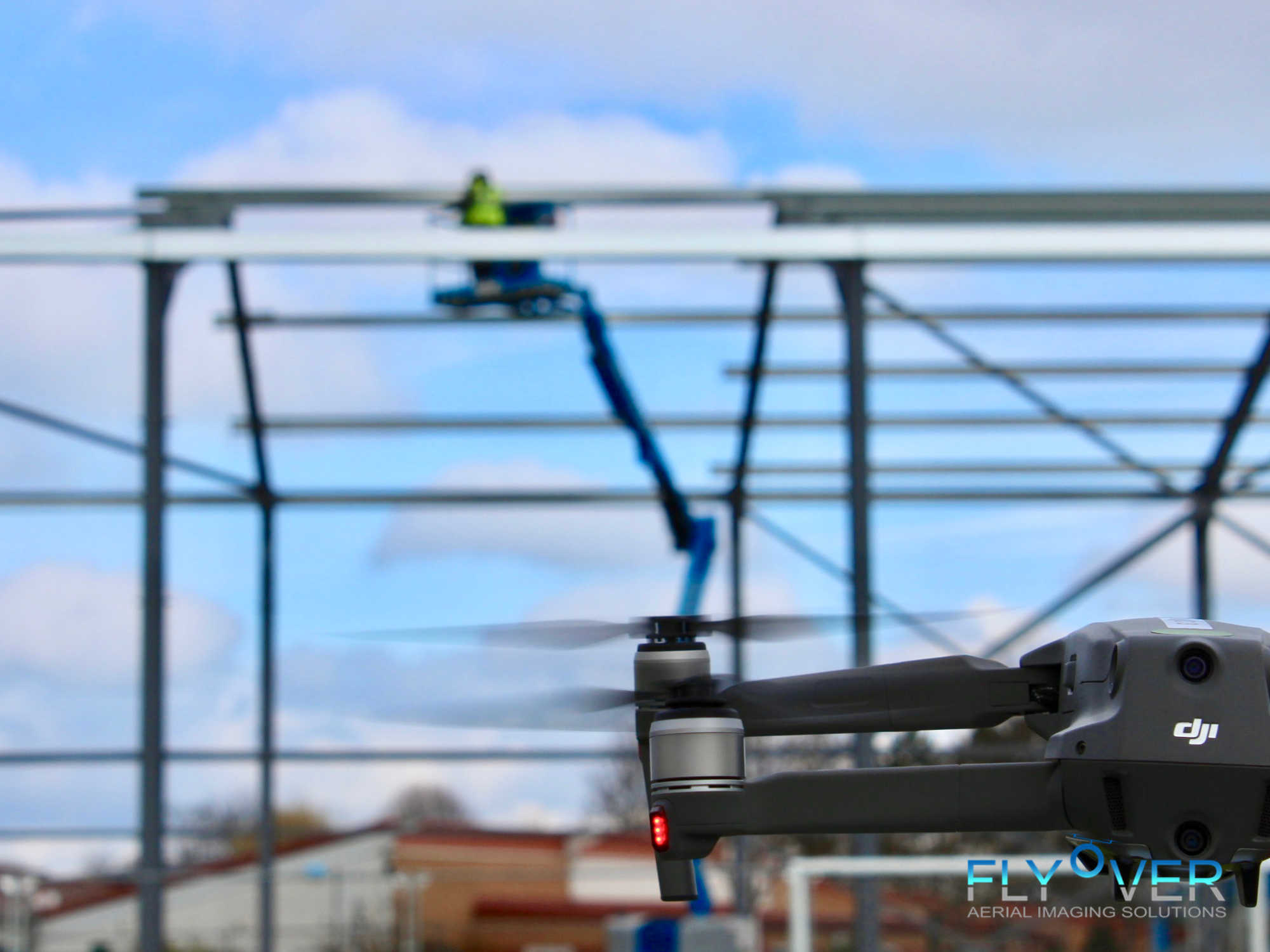
Using industry leading programming, data collection, and autonomous flight we can produce 3D imaging which is measurable with up to 99.4% accuracy.
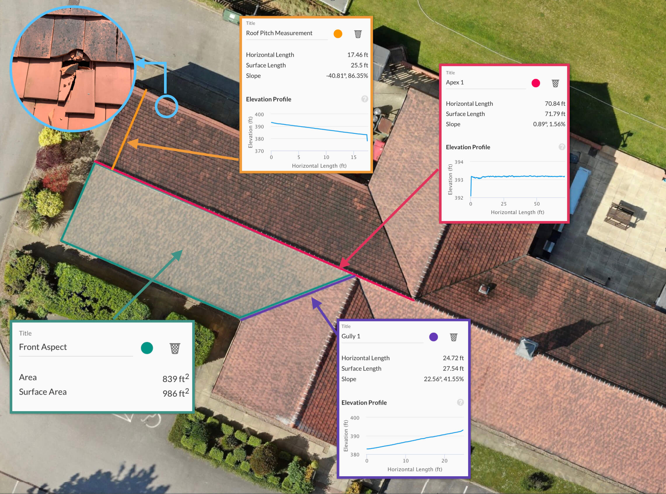
We can generate DPX files and reports on roofs, land, buildings and sports grounds detailing square meterage, pitch angles, length of apex, guttering, valleys and more. This key data can be used to create accurate estimates ultimately saving you time and money.
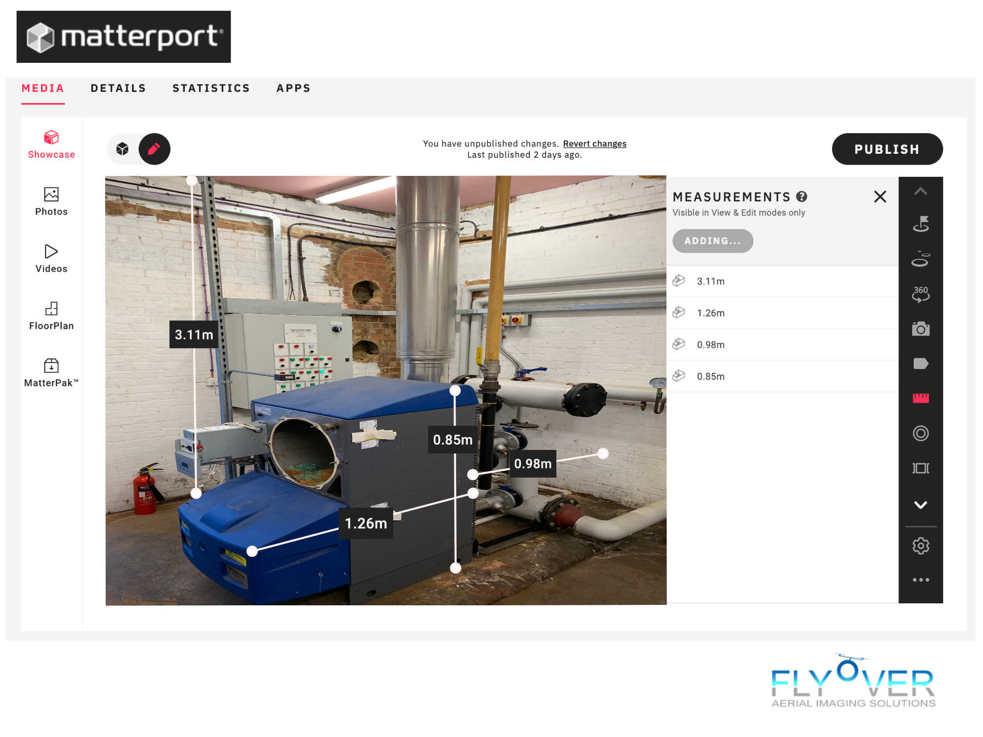
Using our Matterport Pro 2 Camera we can provide internal 3d mapping giving a faithful representation of a physical asset. This is great tool for virtual visits by Investors, Architects and Surveyors. All scans are measurable to within 1% of the physical. See our 3D tours tab in the navigation bar/menu to view one of our live scans in action.
We can provide, The MatterPak™ Bundle giving data assets including .OBJ files .XYZ point cloud files and more to,
architects, engineers, and construction professionals
who want to import these assets into third-party programs (3ds max, ReCap, Revit, or AutoCAD), perform additional work and then offer as part of a commercial package to their clients. For example:
- Architects and engineers
- can use the point cloud to quickly create an as-built model and jump-start their designs.
- Construction professionals
- can use the ceiling plan and floor plan images for documentation/verification and building turnover packages, or use the point cloud as a part of the QA/QC process.
Contact us for more information.
CONTACT US!